Site plans often show existing utilities near proposed foundations, retaining walls, storm systems, duct banks, and grading limits. That information is useful, but it may not answer the question that determines whether work can proceed safely: where is the utility actually located in the field?
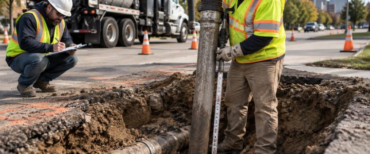
Utility daylighting uses vacuum excavation to physically expose a known or suspected utility at a planned location. The exposed asset can then be observed, measured, and documented. For projects with tight clearances or major excavation, this step can turn an assumed utility conflict into a defined design or construction decision.
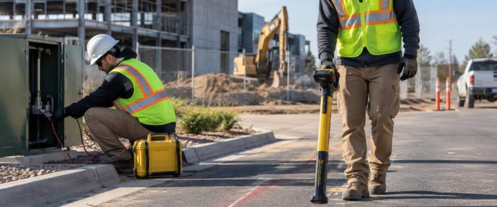
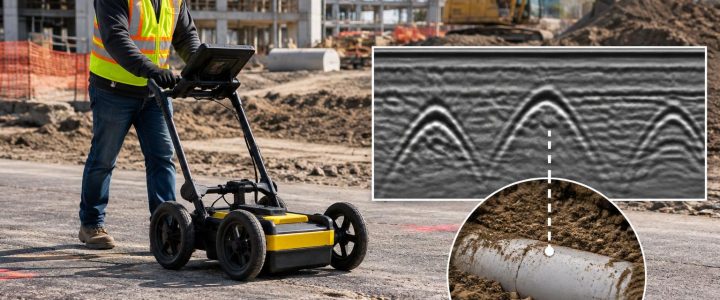
Utility locating and geophysical methods remain important early steps. Electromagnetic (EM) locating can trace certain conductive lines or tracer wires, while ground penetrating radar (GPR) may identify subsurface anomalies and some utilities under suitable conditions. However, their results are interpreted positions. When a proposed excavation depends on actual horizontal position, depth, outside diameter, material, or vertical separation, physical exposure may be needed.
Why utility daylighting matters before site excavation
Mechanical excavation is efficient in open ground, but it is not the preferred first method for uncovering a utility in a conflict area. A vacuum excavation contractor can use air or water to loosen soil while a vacuum removes the material from the hole. This non-destructive excavation approach is commonly used to expose utilities with less disturbance than conventional digging around a marked line.
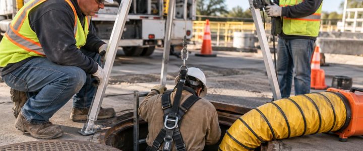
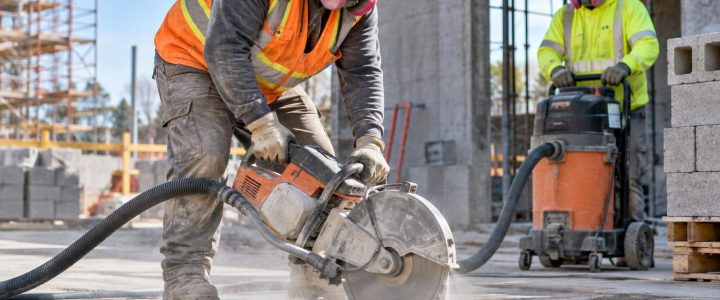
Daylighting does not eliminate risk. It is still excavation work, and the work plan must account for utility-owner requirements, site access, soil conditions, traffic, equipment clearances, trained personnel, and appropriate excavation and work-zone controls. It does, however, give the project team a way to replace assumptions with observations before larger equipment enters the area.
For Subsurface Utility Engineering (SUE) work, the distinction is especially important. The American Society of Civil Engineers and the Federal Highway Administration describe Quality Level B as geophysical designation and Quality Level A as information obtained by exposing and measuring the utility at a test hole. Quality Level A is the highest level of accuracy in the SUE process, but a test hole only supports that designation when the investigation, measurements, and documentation meet the applicable project requirements. ASCE 38-22 and the FHWA SUE guidance provide useful context for these quality levels.
Situations that commonly call for utility test holes
Not every marked utility needs to be daylighted. The best candidates are locations where uncertainty could affect design, sequencing, cost, safety, or constructability. A planned subsurface investigation should focus on decision points rather than random holes.
Proposed foundations, footings, and deep excavations
Foundation excavations can extend below the depth of many site utilities. If a utility is shown near a column footing, grade beam, elevator pit, retaining wall, or building addition, the design team may need to know more than its approximate route.
- Does the utility pass through the planned excavation footprint?
- Is it shallow enough to conflict with a footing or overexcavation limit?
- Can the foundation be adjusted, or will the utility require protection, support, or relocation?
- Is the line a single pipe, a bank of conduits, or a utility within a casing?
A test hole can confirm the actual position at the critical point. If design requires a precise coordinate or elevation, the exposed utility should also be tied to project control by a qualified survey process. Vacuum excavation exposes the utility; it does not automatically create a surveyed elevation.
Stormwater, sanitary, and water-service crossings
Drainage design frequently depends on slope and invert elevation. A proposed storm pipe may appear to cross an existing water main, gas line, force main, electric duct bank, or sanitary sewer. Plans may show the lines crossing, but not establish their actual vertical separation.
Utility daylighting at the proposed crossing can help the team establish which facility is above or below the other and whether the available clearance supports the proposed profile. Depending on the asset and the exposure, observable information may include pipe outside diameter, material, fittings, casing, multiple conduits, and the direction of the line. A separate survey or carefully controlled measurements may be necessary to develop the elevations needed for final design.
Roadway reconstruction and grading changes
Road widening, curb replacement, milling, pavement reconstruction, and profile changes can place new work close to buried utilities. Existing records may reflect original construction rather than later repairs, relocations, abandoned lines, or site changes. Settlement and prior reconstruction can also affect the relationship between finished grade and a utility.
Test holes are often useful at proposed curb lines, drainage structures, sign foundations, traffic-signal foundations, and areas where pavement removal may reach known utilities. The purpose is not simply to find a line; it is to understand whether the planned work has enough clearance and whether a design adjustment is needed before field production begins.
Utility installation and directional drilling
New utility installation can require a clear path through congested ground. Before trenching or directional drilling, daylighting can verify selected tie-in points, crossing utilities, bore entry and exit areas, and other high-consequence locations. The results help contractors plan excavation methods and help designers refine the proposed alignment.
For horizontal directional drilling, exposing selected crossings does not prove conditions everywhere along a bore path. It can, however, provide reliable field information at the locations most likely to drive separation, steering, and contingency decisions.
What physical utility exposure can verify
Once an underground utility is safely exposed, the field team can observe characteristics that cannot reliably be determined from a signal response alone. The specific information available depends on the extent of exposure, the utility condition, and safe access to the hole.
- Horizontal position: the observed location of the utility at the test-hole station.
- Depth: a measured depth from a defined surface reference to the exposed utility.
- Elevation: a surveyed top, centerline, invert, or other defined point when survey control and procedures are used.
- Size: outside diameter or dimensions that can be directly observed and measured.
- Material: observable pipe, conduit, cable, casing, or duct-bank material and construction features.
- Configuration: multiple conduits, casing pipes, fittings, cable bundles, encasement, or other visible conditions.
- Crossing relationship: which exposed utility is above or below another, where both can be safely identified.
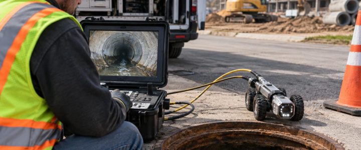
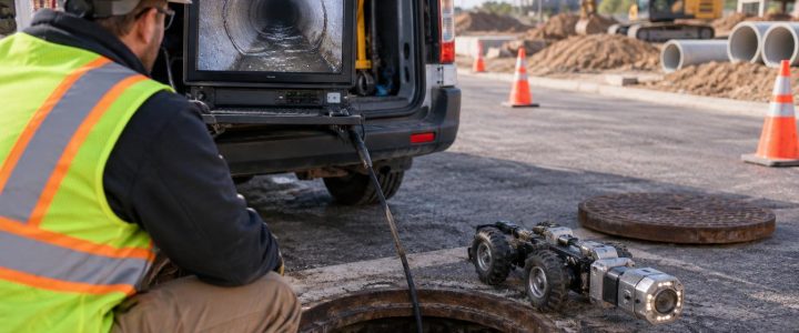
Physical exposure does not necessarily establish utility ownership, internal pipe condition, or the full route of the facility. It is a point-specific investigation. Additional locating, record research, CCTV inspection, surveying, or further test holes may be needed to answer those separate questions.
Estimated depth, measured depth, and surveyed elevation are different
These terms are often used interchangeably in the field, but they should be kept separate in design and construction documentation.
- Estimated depth is commonly derived from an EM locator or another geophysical method. It can be helpful for planning, but it is affected by signal conditions, distortion, line geometry, and the assumed path of the utility.
- Measured depth after exposure is taken after a utility has been daylighted, usually from an identified surface reference to a clearly defined point on the utility.
- Surveyed elevation is established when a survey professional or appropriate project survey procedure ties the exposed utility point to vertical and horizontal control.
A field report should identify the reference used. For example, “36 inches below existing pavement surface to top of pipe” is different from an elevation tied to a benchmark. Clear labels prevent a measured depth from being mistakenly used as a design elevation.
How to select effective daylighting locations
Good utility potholing services begin with a defined question. Before mobilization, the project team should review available utility records, design drawings, existing marks, proposed grades, and excavation limits. Private utility locating or SUE designation can help target the most useful test-hole locations before physical exposure begins.
Prioritize locations where the result will change a decision, including:
- Points where a proposed utility crosses an existing facility.
- The closest known approach between a utility and a foundation, wall, structure, or trench.
- Locations where an existing line changes direction, enters a structure, or appears inconsistent across records.
- Proposed utility tie-ins and connection points.
- Areas where shallow construction, grading, or demolition could contact buried infrastructure.
- Critical points along a proposed HDD alignment or congested utility corridor.
One exposure point should not be assumed to represent the entire utility run. Utilities can change depth, route around obstructions, transition through fittings, or vary due to prior work. The number and spacing of test holes should reflect the project’s risk, design tolerances, and the consequences of an incorrect assumption.
Hydro excavation or air excavation?
Both methods use vacuum equipment to remove loosened soil, but the loosening medium differs. Hydro excavation uses controlled water. It can be productive in many compacted soils and can help break up difficult material. It also produces slurry that must be contained, transported, and disposed of in accordance with project and site-specific requirements.
Air excavation uses compressed air to loosen soil. It may be preferred where reducing added water, slurry generation, or surface restoration impacts is important. However, it can be slower in certain soils and may create more airborne dust or spoil handling needs. Frozen ground, groundwater, access limitations, utility congestion, and local site conditions can all affect the appropriate method.
Neither approach is universally best. A qualified vacuum excavation contractor should select equipment and procedures based on the utility type, soil, depth, environmental constraints, work area, and the information the project needs to obtain.
Documentation that makes test-hole results useful
A daylighted utility is most valuable when the findings are communicated clearly to the designer and field team. At a minimum, documentation should identify the test-hole location, date, surface reference, exposed utility, and methods used. Photographs and sketches can be useful when allowed by the project and utility requirements.
For design-critical work, coordinate in advance on the required deliverable. It may include survey coordinates, elevations, the point measured on the utility, observed size and material, utility direction, depth below a defined reference, and notes on observed crossings or constraints. This avoids a common problem: discovering after the hole is restored that the team did not collect the information necessary for a design revision.
Common mistakes to avoid
- Treating plan information as field verification. Utility records are valuable references, not proof of current field conditions.
- Using a geophysical depth estimate as final design data. Confirm critical depths through exposure and measurement when the risk warrants it.
- Choosing holes only where access is easiest. Locate test holes at actual decision points, while accounting for safe access and traffic control.
- Failing to define measurement references. State whether a depth is to top of pipe, centerline, invert, or another feature.
- Skipping survey coordination. If the design needs elevations, arrange for appropriate survey control and data collection before backfill.
- Assuming a single hole verifies an entire route. Use additional investigation where utility alignment or grade may change.
Use daylighting to make excavation decisions with better information
Utility daylighting is most useful when it is planned before a conflict becomes an emergency in the field. It gives engineers and contractors an opportunity to compare actual conditions with records and drawings, refine the design or work plan, and establish safer excavation limits around known infrastructure.
Visionary Subsurface Solutions provides vacuum excavation and QL-A utility exposure services for projects throughout Pennsylvania, New Jersey, Delaware, Maryland, New York, and the Washington, D.C. to New York City corridor. Contact our team to discuss test-hole locations, documentation needs, and a practical utility verification plan for your project.