Utility relocation work often starts with an assumption: a line shown on a plan can be moved once the new route is designed. In practice, the existing utility may be deeper, shallower, offset from the mapped alignment, or configured differently than expected. It may also cross other utilities at an elevation that affects whether the proposed relocation can be built.
That is where utility potholing, also called utility daylighting or test-hole excavation, becomes valuable. A vacuum excavation contractor can physically expose selected utilities so the project team can observe and document their actual field characteristics before finalizing a relocation design or beginning excavation.
For a relocation project, the goal is not to dig as many holes as possible. The goal is to expose the utilities at the locations where verified information can resolve a design question, construction conflict, or safety concern.
Why utility relocation plans need field verification
Utility records, as-built drawings, and one-call markings are important sources of information, but they should not automatically be treated as a complete representation of field conditions. Drawings may reflect intended installation rather than final placement. Older records may omit later modifications, abandoned lines, private utilities, repairs, service connections, casings, or changes made during previous reconstruction.
In addition, a utility’s depth can change along its route. Roadway reconstruction, grading changes, settlement, erosion, utility repairs, and later installations can all affect the relationship between a utility and the current surface.
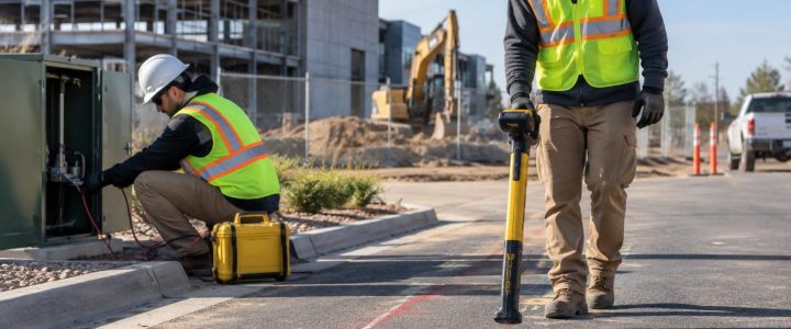
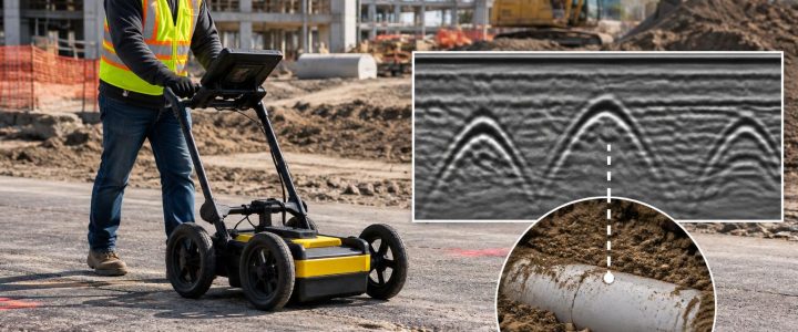
Electromagnetic locating and ground penetrating radar can help designate an interpreted utility route and identify areas that need further investigation. However, locating results do not always provide the certainty needed to move a utility or build near it. A detected signal may be offset from the pipe or conduit itself, and estimated depth is not the same as a depth measured after exposure.
When the project depends on the utility’s actual position, physical exposure provides an opportunity to see the utility rather than rely only on an interpreted geophysical response.
What utility potholing can verify before a relocation
A properly planned test hole can provide information that is difficult or impossible to confirm from records and surface locating alone. Depending on the excavation extent and site conditions, the field team may be able to observe and document:
- The utility’s exposed horizontal position at the test-hole location
- Depth below the existing ground surface after exposure
- Top and, where safely and practically exposed, bottom of pipe or conduit
- Outside diameter or observable dimensions
- Pipe, conduit, duct bank, cable, casing, or multi-duct configuration
- Observable material characteristics, such as metallic pipe, plastic conduit, concrete, clay, or a protective casing
- The relative elevation and vertical separation at a utility crossing
- Whether the utility appears active, abandoned, damaged, encased, or otherwise different from available records
- Nearby obstructions, congestion, or installation conditions that could affect relocation construction
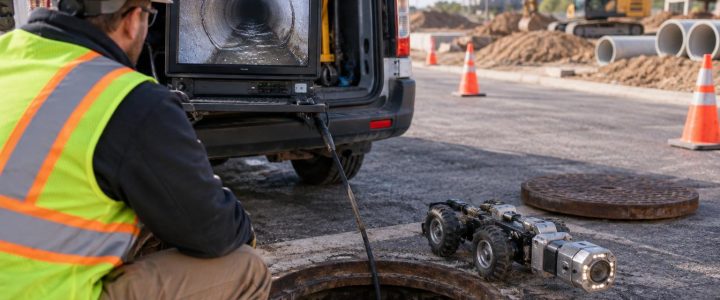
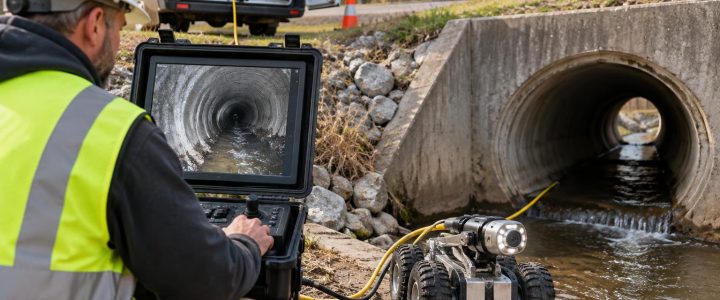
Physical exposure does not answer every question. A small pothole may not establish an entire utility alignment, identify ownership, prove a line is inactive, or confirm the condition of pipe beyond the exposed area. If a relocation decision depends on internal pipe condition or unknown connections, additional investigation such as video pipe inspection may be appropriate.
Depth, elevation, and location are not the same thing
Clear terminology helps prevent mistakes during design coordination. These terms are related but different:
- Estimated depth: A depth estimate produced by a locating method, often referenced from the surface. It is useful for planning but should be treated within the limits of the method and site conditions.
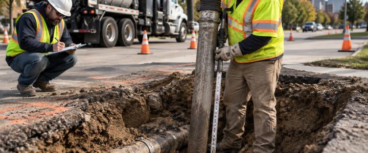
- Exposed depth: The depth measured after the utility is physically exposed. The reference point, measurement method, and whether the measurement is to the top, centerline, or bottom of the utility should be recorded.
- Surveyed elevation: A horizontal and vertical coordinate collected by survey methods from the exposed utility feature. This may be necessary when a design profile, clearance calculation, or relocation stakeout requires precise coordinates.
Vacuum excavation can make the utility accessible for measurement, but it does not automatically produce a surveyed elevation. When design depends on exact horizontal or vertical control, coordinate the test-hole work with the project surveyor and establish in advance what feature needs to be surveyed.
How utility potholing supports SUE and Quality Level A work
Subsurface Utility Engineering, or SUE, combines records research, field investigation, utility designation, physical exposure, surveying, and documentation at a level appropriate to the project. It is a process, not simply a locating visit or a single excavation.
Under ASCE 38-22, Quality Level B information involves geophysical designation of utilities, while Quality Level A involves obtaining precise utility information through exposure and measurement. The Federal Highway Administration’s SUE guidance and the ASCE standards program both describe physical verification as a key part of achieving the highest level of utility information when the work is planned, measured, and documented to the applicable standard.
Not every vacuum excavation project is automatically a SUE investigation, and not every pothole automatically meets Quality Level A requirements. The project scope, exposure method, measurements, survey control, documentation, and professional oversight all matter. When QL-A test holes are required, establish the required deliverables before fieldwork starts.
Where to place test holes for a relocation project
Random potholes can consume time without resolving the questions that matter. A better approach is to use available records, design plans, utility designation, site access information, and the proposed relocation alignment to select high-value locations.
Proposed crossing points
Test holes at proposed crossings can confirm which utility is above or below, the available vertical separation, and whether the proposed line can maintain needed clearance. This is especially important where a new gravity line needs a specific slope or where a new duct bank has limited vertical flexibility.
Points of connection and tie-in areas
Before designing a tie-in, verify the existing utility’s size, material, configuration, and position. A record showing a single conduit may not reveal an encased duct bank, multiple conduits, or a casing that changes the connection method.
Changes in alignment, grade, or roadway section
Utility depths may be particularly uncertain near widened roads, reconstructed curbs, retaining walls, drainage improvements, and areas with substantial fill or excavation. Verification at these transitions can prevent incorrect assumptions from carrying into the relocation profile.
Congested corridors
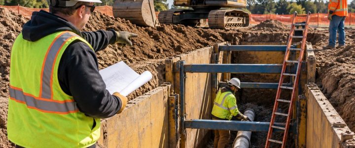
In a corridor with water, sewer, gas, electric, communications, and private facilities, test holes should focus on the conflicts that control the design. The team may need several exposures to understand how utilities stack vertically and whether space exists for equipment and safe installation.
A practical workflow for utility relocation verification
- Define the design decision. Identify what must be known: crossing elevation, pipe size, duct-bank configuration, tie-in location, bore path clearance, or another issue.
- Review available information. Compare utility records, prior survey, site plans, one-call information, and known private-utility data. Note gaps and conflicts rather than assuming one document is correct.
- Designate utilities first where appropriate. Private utility locating and SUE Quality Level B work can help identify likely routes and improve test-hole placement.
- Select the exposure method. Choose hydro excavation or air excavation based on soil, utility sensitivity, access, spoils handling, water availability, restoration needs, and environmental requirements.
- Set measurement and documentation requirements. Specify the feature to be measured, the survey datum if applicable, photo needs, utility attributes to record, and who will receive the information.
- Perform controlled vacuum excavation. Use appropriate work-zone controls, excavation practices, and qualified operators. The exposed utility should be carefully uncovered without treating vacuum excavation as risk-free.
- Compare findings with the design. Update the profile, conflict matrix, relocation route, or construction plan based on verified conditions.
Hydro excavation or air excavation for relocation test holes?
Both methods use a vacuum system to remove loosened soil, but they serve different site conditions.
Hydro excavation uses pressurized water to break up soil. It can be productive in dense or compacted soils and is commonly used for utility exposure. However, it produces slurry that must be managed and disposed of appropriately. Water use, freezing temperatures, site drainage, contaminated soil concerns, and restoration requirements should be considered.
Air excavation uses compressed air to loosen soil for vacuum removal. It can reduce water introduction and may be useful where slurry management is a major concern. Its effectiveness can vary with soil type, moisture, compaction, cobbles, and depth. Air excavation may also create dust or require added controls depending on conditions.
Neither method is universally better. The right choice depends on the utility, soil, depth, access, traffic control, available staging area, disposal requirements, and the information the project needs.
Common relocation mistakes that test holes can help avoid
- Designing to record depth: A plan depth may not match current field conditions or the elevation needed for a proposed profile.
- Using an estimated depth as a construction dimension: A locator’s depth estimate can support planning, but it should not replace exposure when a critical clearance must be confirmed.
- Measuring without a clear reference: “Six feet deep” has limited value unless the report identifies the surface reference and whether the measurement is to top of utility, centerline, or another point.
- Exposing only one side of a complex crossing: A single exposure may not reveal a parallel conduit bank, casing, or offset service line that controls the relocation.
- Leaving survey coordination until after excavation: The most useful utility feature may no longer be visible when the survey crew arrives.
- Ignoring restoration and material handling: Test-hole planning should account for pavement, landscaping, traffic, slurry or spoils disposal, groundwater, and site-specific environmental requirements.
Frequently asked questions about utility potholing for relocations
How many utility test holes does a relocation project need?
The number depends on the decisions the project team must make. A simple, open corridor may need only a few targeted exposures. A congested urban corridor, major roadway reconstruction, or complex tie-in may require multiple potholes at crossings, connection points, and changes in grade. The best quantity is driven by risk and design needs, not a fixed rule.
Can vacuum excavation confirm pipe material and size?
It can allow the team to observe and document exposed material characteristics and outside dimensions. The amount that can be confirmed depends on how much of the utility is safely exposed, the utility’s condition, and whether it is enclosed in a casing, duct bank, or other structure.
Does daylighting show whether a utility is active?
Not reliably by itself. Exposure may reveal observable clues, but status should be confirmed through the appropriate utility owner, facility representative, records, or approved testing process. Do not assume a line is abandoned because it is not marked or because it appears old.
Is vacuum excavation safer than a backhoe near known utilities?
Vacuum excavation is commonly used as a non-destructive excavation method to reduce the risk associated with mechanical digging near known or suspected utilities. It still requires locating, planning, trained operators, careful exposure techniques, traffic controls where needed, and project-specific safety procedures.
Get verified utility information before relocation work proceeds
Relocation design is stronger when it is based on field-verified conditions rather than assumptions carried forward from incomplete records. Targeted utility potholing can help the project team identify real conflicts, confirm what must be moved, and develop more workable construction plans.
Visionary Subsurface Solutions provides vacuum excavation and QL-A utility exposure services for contractors, engineers, surveyors, municipalities, and facility teams throughout Pennsylvania, New Jersey, Delaware, Maryland, New York, and the Washington, D.C. to New York City corridor. Contact our team to discuss the utility verification questions on your relocation project.